-
If you are posting pictures, and they aren't posting in the correct orientation, please flush your browser cache and try again.
Edge
Safari/iOS
Chrome
You are using an out of date browser. It may not display this or other websites correctly.
You should upgrade or use an alternative browser.
You should upgrade or use an alternative browser.
wiscwhip
5 year old buck +
Bastard Pine has got to be Jack Pine :D. I'm calling them that from now on :cool:.
From now on? I've been calling them far worse than that for 30+ years!:eek::D
wiscwhip
5 year old buck +
Not sure who the forestry guys were that did the initial survey, but I think they were confused about what part of the country they were in. Here is what I found on a Google search.
jack oak - a common scrubby deciduous tree of central and southeastern United States having dark bark and broad three-lobed (club-shaped) leaves; tends to form dense thickets
Pinus × sondereggeri is the only named southern pine hybrid. Common names include Sonderegger pine and bastard pine. It is a naturally occurring cross between loblolly pine (Pinus taeda) and longleaf pine (Pinus palustris). It was originally described by H. H. Chapman (1922) who named it after its discoverer, V. H. Sonderegger, a state forester of Louisiana. This pine usually occurs singly or in small groups where both loblolly and longleaf pines overlap in range. Because the flowering of both parental trees usually occur at the same time of year, no phenological barrier exists, thus the two freely cross.
o_O:confused::confused::confused:
D
dipper
Guest
Ed-what was the native habitat in your area before the white man arrived? short grass prairie?
is there any record of the habitat changing with different tribes or the arrival of the horse
I don't want to step on Ed's toes here, but the reason central WI has such sandy soil is due to large glaciers that transformed the landscape only 20,000 years ago. You could say, Ed's lake and the lakes on my property are some of the lowest deposits of these glaciers. There was also huge deposits of organic matter in the region. The cool thing is I'm probably 60 miles from Ed, that's the scale of what these glaciers were. Our soil is really young, so it hasn't had the millions of years to build organic matter.
That large glacial sheet eventaully turned into a massive lake. Many parts of centeral WI were under over 100' of water. That water eventaully was able to drain...that how the Wisconsin River was born( those canyons in WI Dells used to be the dam), I also believe the black river took water west. Some of that water also got into the ground, so we have a glacial lake of sorts below us. In some locations the water table is only 5' down.
That's how we can farm now. You don't need organic matter when you irrigate every day.
Last edited by a moderator:
wiscwhip
5 year old buck +
dipper, Glacial Lake Wisconsin covered over a million acres and deposited sands hundreds of feet deep in some areas, it is not surprising at all that you have soil types similar to what we have in Juneau and Adams Co. We do have it a bit worse in the southern regions of the old lake bed, as the sand is typically deepest in those areas. Castle Rock and Petenwell Flowages and their associated dams are very unique and the first of their kind in the US. They are considered a "floating" type construction, those dams are not anchored to bedrock in any way, they just sit on top of the sand and are anchored in place by deep piers that descend down into the glacial sand deposits. Kind of crazy really. As one travels east toward Ed's area, you get into more of the glacial moraine type areas, which can have more varied soils than the main lakebed, especially in lower areas. More rocks and more depressions that filled in with silts, clays, and deposits other than sand, even though the subsoil is still primarily sandy in makeup. Scientists are already assessing the groundwater/irrigation changes in the Central Sands region and are using the data as a conceptual model for the rest of the Midwest and other highly irrigated areas with highly permeable soils.
sandbur
5 year old buck +
does your Dad have any ideas formt he native plants that are present?I assume Prairie / Savannah type of some sort but I guess I don't really know for sure.
I worked for a surveyor during my college days. Those field notes form the original government surveys were used to relocate section corners-before GPS. The notes were very good at indicating the original environs due to descriptions of bearing trees. In more prairie areas, oak stakes were sometimes used.

CrazyEd
5 year old buck +
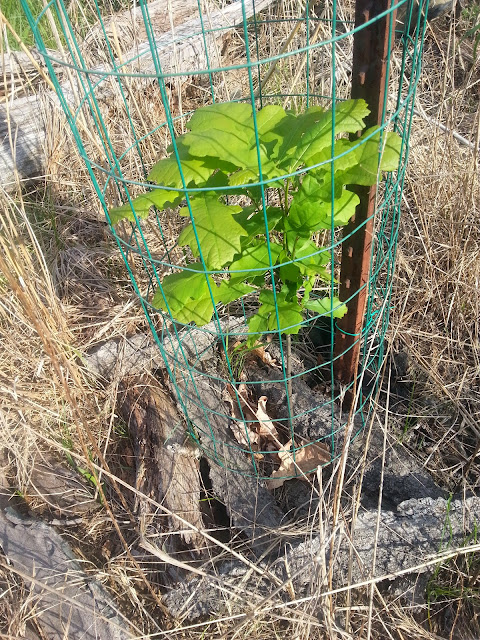
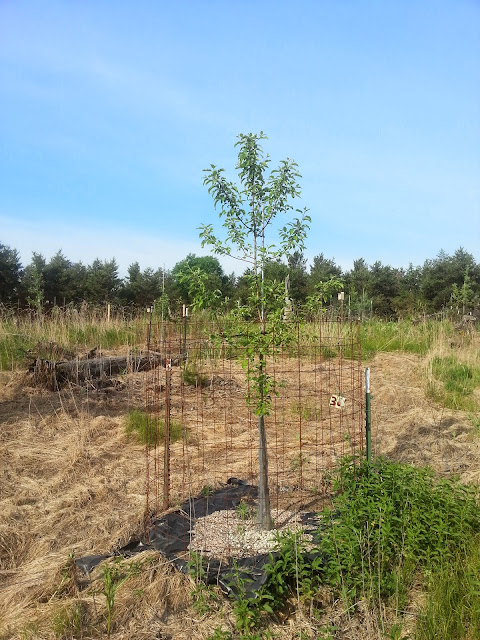
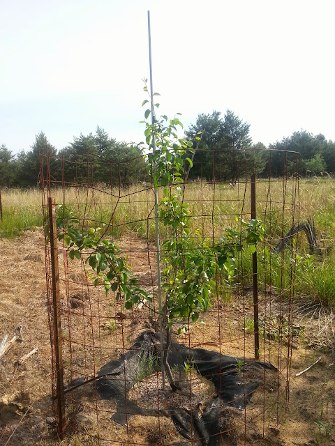
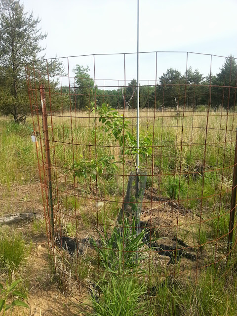
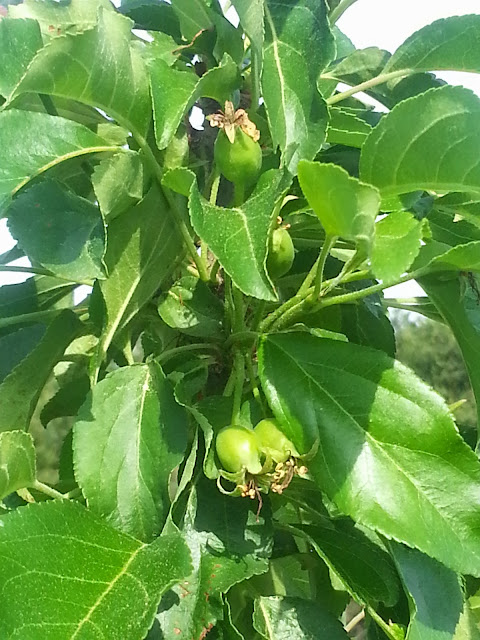
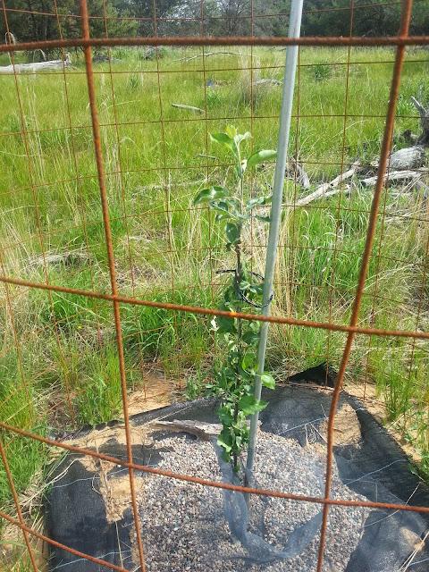
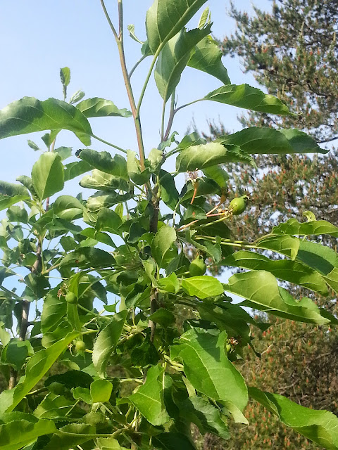
Wow. 3rd leaf fruit on those B118's, I'm impressed. They must like that beach sand. All your trees are looking healthy.
thanks. yeah everything looked great but my 3rd leaf Roxbury russet. I did not see evidence but I think tent caterpillars hammered it even though it was sprayed about 2 weeks ago. it was the only tree that did not look great, it was fair.
CrazyEd
5 year old buck +
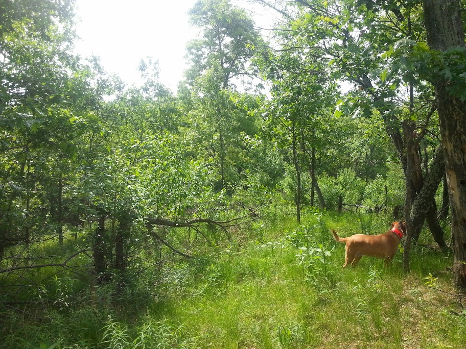
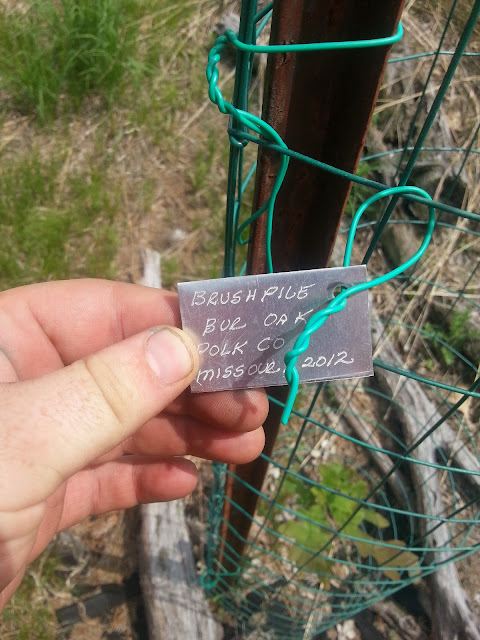
This area was basically park like woods - very open understory prior to hinge cutting. This was taken a couple weeks after we hinge cut the area in 2012
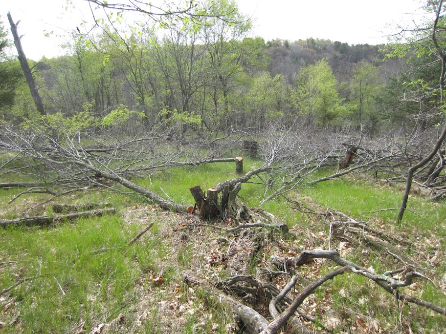
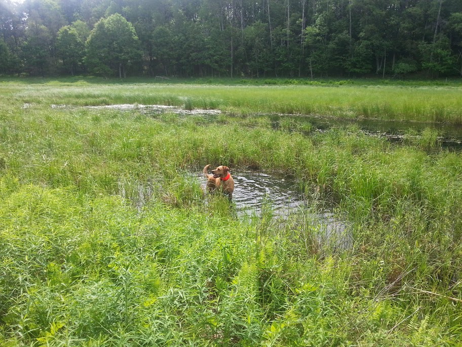
Yesterday, obviously a bit further along in the growing season but still you can see the area has been totally transformed. Tons of woody browse and cover

Yesterday, obviously a bit further along in the growing season but still you can see the area has been totally transformed. Tons of woody browse and cover
Similar threads
- Replies
- 75
- Views
- 4K
- Replies
- 14
- Views
- 1K