-
If you are posting pictures, and they aren't posting in the correct orientation, please flush your browser cache and try again.
Edge
Safari/iOS
Chrome
You are using an out of date browser. It may not display this or other websites correctly.
You should upgrade or use an alternative browser.
You should upgrade or use an alternative browser.
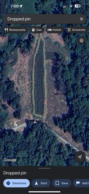
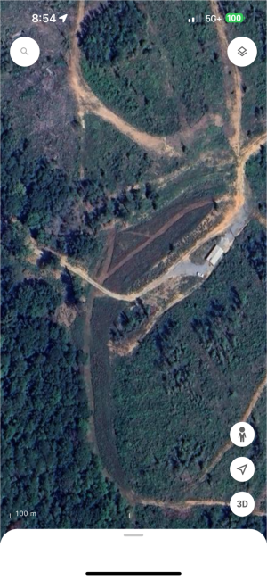
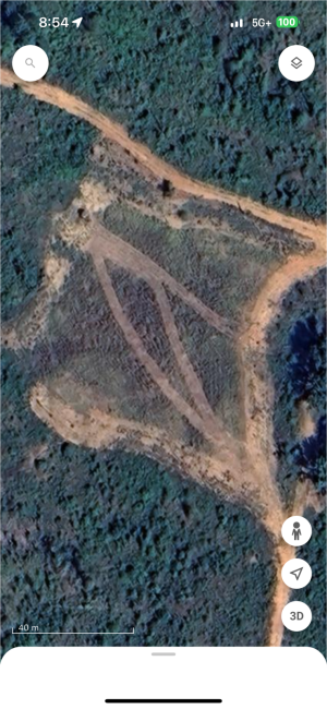
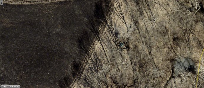
Google maps just updated images of my farm…
- Thread starter omicron1792
- Start date
rocksnstumps
5 year old buck +
Nice for you. Google maps still 10 yrs or more outta date by my land. Tend to use the maps in duckduckgo which believe is same as Apple maps and more current but still 5 or 6 yrs old.
Not sure what criteria is used for updates but my neighborhood is obviously podunkville.
Not sure what criteria is used for updates but my neighborhood is obviously podunkville.
omicron1792
5 year old buck +
Dude. First update in 6 years since I’ve owned place. HaNice for you. Google maps still 10 yrs or more outta date by my land. Tend to use the maps in duckduckgo which believe is same as Apple maps and more current but still 5 or 6 yrs old.
Not sure what criteria is used for updates but my neighborhood is obviously podunkville.
omicron1792
5 year old buck +
omicron1792
5 year old buck +
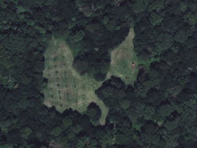
So cool!I hadn't ever thought to look at the bing maps, but it caught me mowing one of the orchards as well. Well, the food plot part of the orchard.
View attachment 62481
Howboutthemdawgs
5 year old buck +
Got my hopes up but bing was way old for me. So far onx is the most recent for my world
FarmerDan
5 year old buck +
View "new" aerial imagery in Google Earth (desktop).
Start here:
1, Open this link:
https://naip.imagery1.arcgis.com/arcgis/rest/services/NAIP/ImageServer
2. Look up close to the top of the page for VIEW IN.
3. Click ArcGIS Earth
4. A .kmz file will be created and downloaded
5. Open Google Earth
6. Open ADD FILE.
7. Navigate to wherever you saved the kmz file and add it as you would any other file.
8. You will need to zoom in to your area of interest to display the most recent NAIP imagery. More below the illustration

NAIP is USDA's National Agriculture Imagery Program acquisition. Frequency of collection is dependent on budget dollars, but I believe nothing provided in this nationwide set is more than 3 years old.
To learn more about NAIP google it or USDA APFO imagery.
Start here:
1, Open this link:
https://naip.imagery1.arcgis.com/arcgis/rest/services/NAIP/ImageServer
2. Look up close to the top of the page for VIEW IN.
3. Click ArcGIS Earth
4. A .kmz file will be created and downloaded
5. Open Google Earth
6. Open ADD FILE.
7. Navigate to wherever you saved the kmz file and add it as you would any other file.
8. You will need to zoom in to your area of interest to display the most recent NAIP imagery. More below the illustration

NAIP is USDA's National Agriculture Imagery Program acquisition. Frequency of collection is dependent on budget dollars, but I believe nothing provided in this nationwide set is more than 3 years old.
To learn more about NAIP google it or USDA APFO imagery.
4wanderingeyes
5 year old buck +
Bing Maps has the latest update for me, maybe 2 years old.
We also got the first update in 5 years a week or so ago. And they’re very recent, too, being only about a month old. No tractors caught … but the previous update had some deer in our field.And caught an image of me planting one of my fields. Just thought that was cool!
View attachment 62478
FarmerDan
5 year old buck +
Here's something else for those of you seeing older imagery in Google Earth and/or Maps and probably for any application using imagery delivered from some distant off-site server.
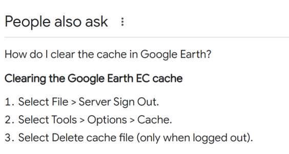
A little background. Aerial imagery like any picture consists of thousands if not hundreds-of-thousands of pixels. When an application receiving imagery from a server makes a call to that server there's a lot of latency - a long wait - for the required information to reach your device and to be displayed by your application. To overcome this troubling delay most things using aerial imagery create a cache on your device. A cache is just a file storing the imagery you most often display, So, instead of making a server call for new imagery the application grabs the stored cache information. The implication is the server imagery can be updated but unless you manage that cache you might never see it,
There are so many devices with their own procedures you will need to do a little work on you own if you want to pursue this as a possible reason for seeing only old imagery.
Here's a simple routine for Google Earth

Catscratch
5 year old buck +
Turkey Creek
5 year old buck +
Hey I just checked mine, it had to have been updated between September - October from the looks of it. I hope Hunt X updates with that soon as well.
omicron1792
5 year old buck +
That's really cool Cat!"Draftlogic Area" website vs "Draftlogic Distance" website.
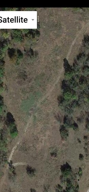
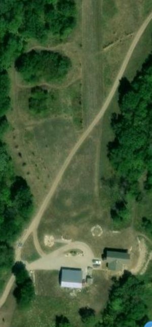
Kind of cool since you can see the start of my driveway in the first pic, then in the other pic you can see everything including the fruit trees, plots, fire pit, etc that I've added through the house build.
View attachment 62502View attachment 62503
Catscratch
5 year old buck +
That's really cool Cat!
It is neat to look at the changes I've made.
I find it interesting that Draftlogic uses 2 different maps for their distance and area tools.
Howboutthemdawgs
5 year old buck +
I use to be able to zoom on onx and my cabin would go away vs the wider view!It is neat to look at the changes I've made.
I find it interesting that Draftlogic uses 2 different maps for their distance and area tools.
Similar threads
- Replies
- 5
- Views
- 201

