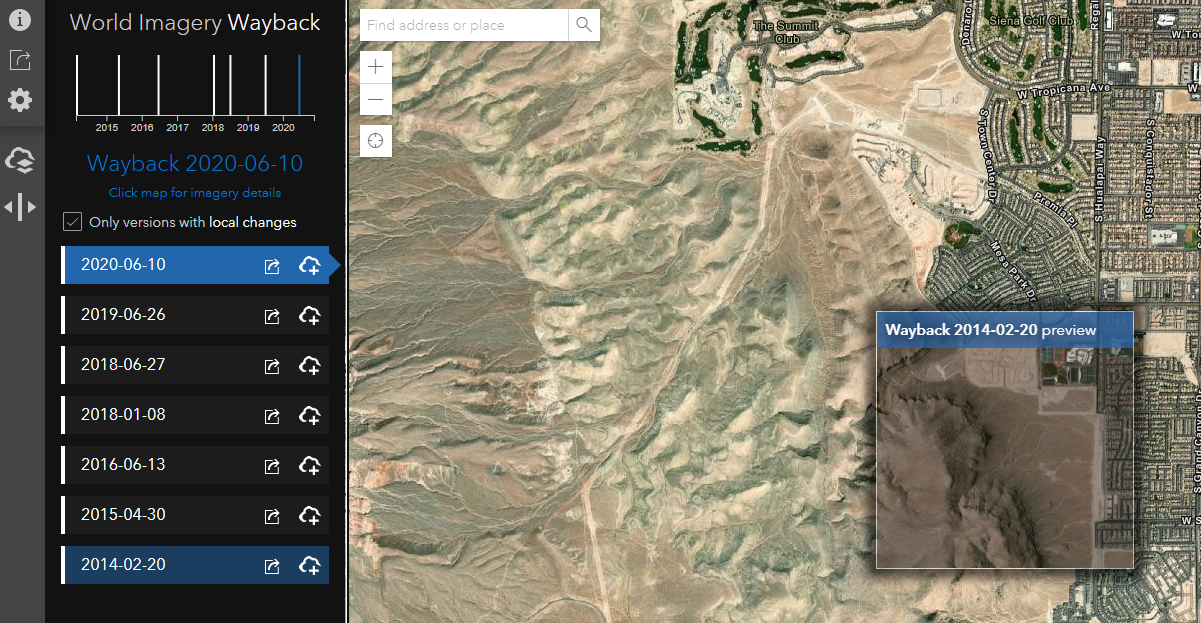
Google maps just updated images of my farm…

Just looked at mine and was surprised it was updated as well. 2012 was the last time it had been updated.
 
Already pay for calf shelters…..
 
I like google earths historical imagery. Msps from years ago.

I csn see where thr logging lanes are easier before tbey get brushed up.

My little spots i plant come out bright green snd guys from the club still ask where they are......
 
For the Minnesota folks, there is a pretty easy to access site to see images dating back to the 30's and 40's: https://extension.umn.edu/my-minnesota-woods/how-find-out-what-your-woods-looked-past

This is my favorite web app for seeing somewhat recent imagery of anywhere in the US. I think you have to use a desktop because it requires some computing power:
 
Top