BenA
5 year old buck +
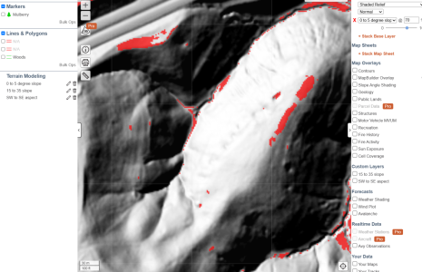
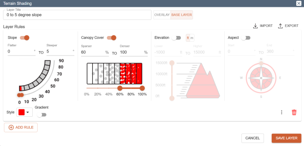
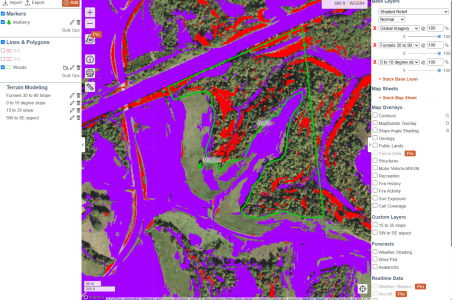
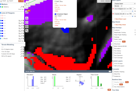
I was working on fine tuning some of my bedding, and like to use maps to start with. CalTopo has some great features. Terrain Shading allows you to color code areas based on factors such as degree of slope, canopy cover, elevation, and aspect. For example, I was wanting to narrow down some flat areas in my timber. I went to my area, changed the map to a Shaded Relief base layer (seems to work with any base layer you like), and added a terrain shading layer. For the layer, I chose to look at 0 to 5 degree slopes in areas with 50% or more canopy cover. To get more granular, I could narrow it down to certain elevations and slope aspects. I'm not as proficient with CalTopo as I'd like, but it seems pretty handy. You could map food plot locations, orchards, frost pockets, etc.


