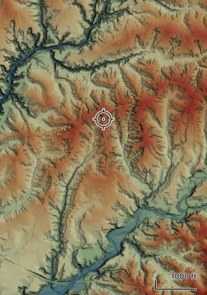
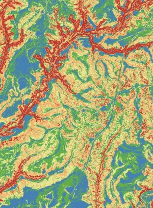
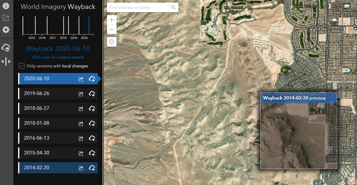
I’m not a GIS professional but have geeked out over mapping tech since GPS and Google Maps hit the scene decades ago. I’ve started using some free open source software and lidar data to make some topo maps that have been super helpful for hunting and assessing properties before I even visit them in ways I cannot with the old style topos. To my eyes, they’re almost frame-worthy, at least for a hunting cabin. I’ve even found a way to make geo-referenced pdfs that can be used with free apps on smartphones, with location given.
Anybody play around with this stuff? Anybody need a map made?
Thanks to poster farmerdan for helping me get started with this years ago!
Anybody play around with this stuff? Anybody need a map made?
Thanks to poster farmerdan for helping me get started with this years ago!